04 EUGIKO JAGOLEA
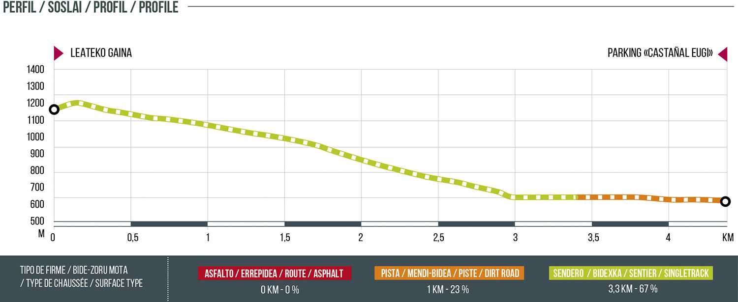
Distance
4.3 km
High
26 m
Downhill
572 m
TIme
30 – 60 min
Difficulty
Level

Wikiloc
Download trail
Track
Download track
Technical specs
Download file

04 Magnum
Start
Leateco Gaina
Agua
Eugui
Track description
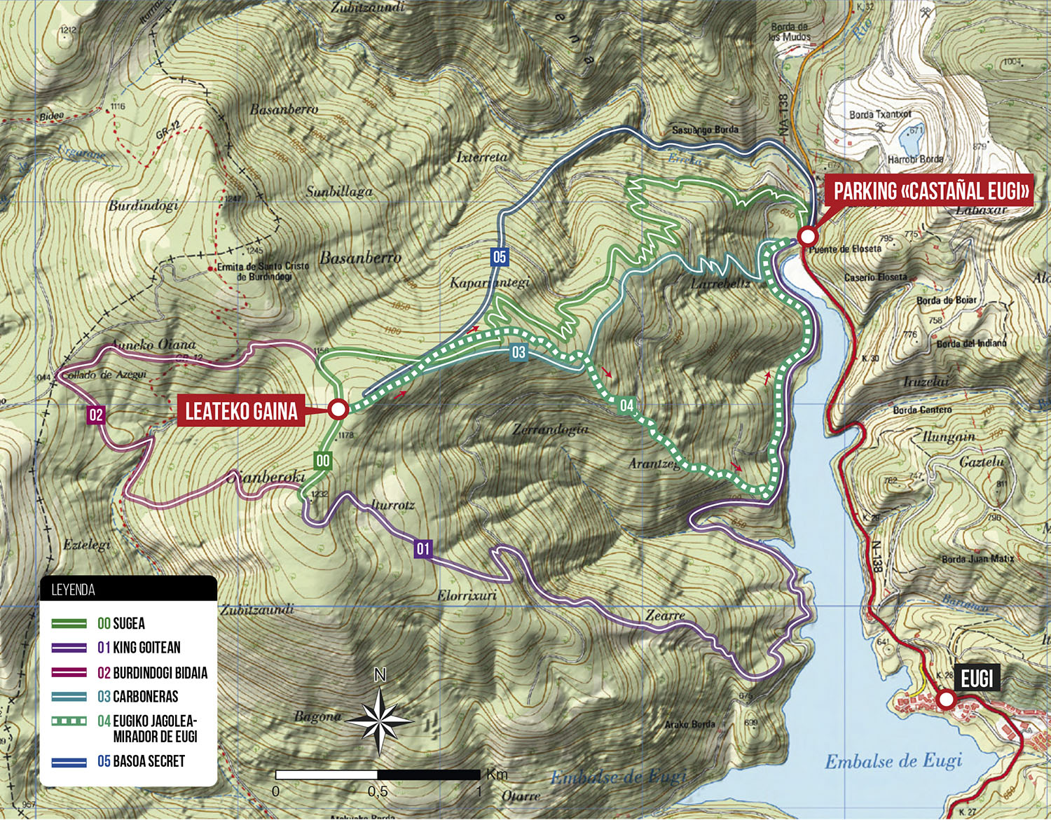
Very enjoyable descent that starts from the viewpoint Leateko Gaina and descends directly to the parking Burdindogi. It is a simple route with a lot of flow, the hardest steps are at the beginning of the descent with a trial section of 15 meters and the crossing of a forest track in the middle of the route. The descent ends on the road along the Eugi reservoir right next to a boardwalk. From there, the route and 01.KING GOITEAN share the road to the Burdindogi parking lot. This stretch of road along the reservoir is very used by hikers, so for safety reasons, we will take extreme precautions and we will NOT ride fast bicycles.
Route map
Profile