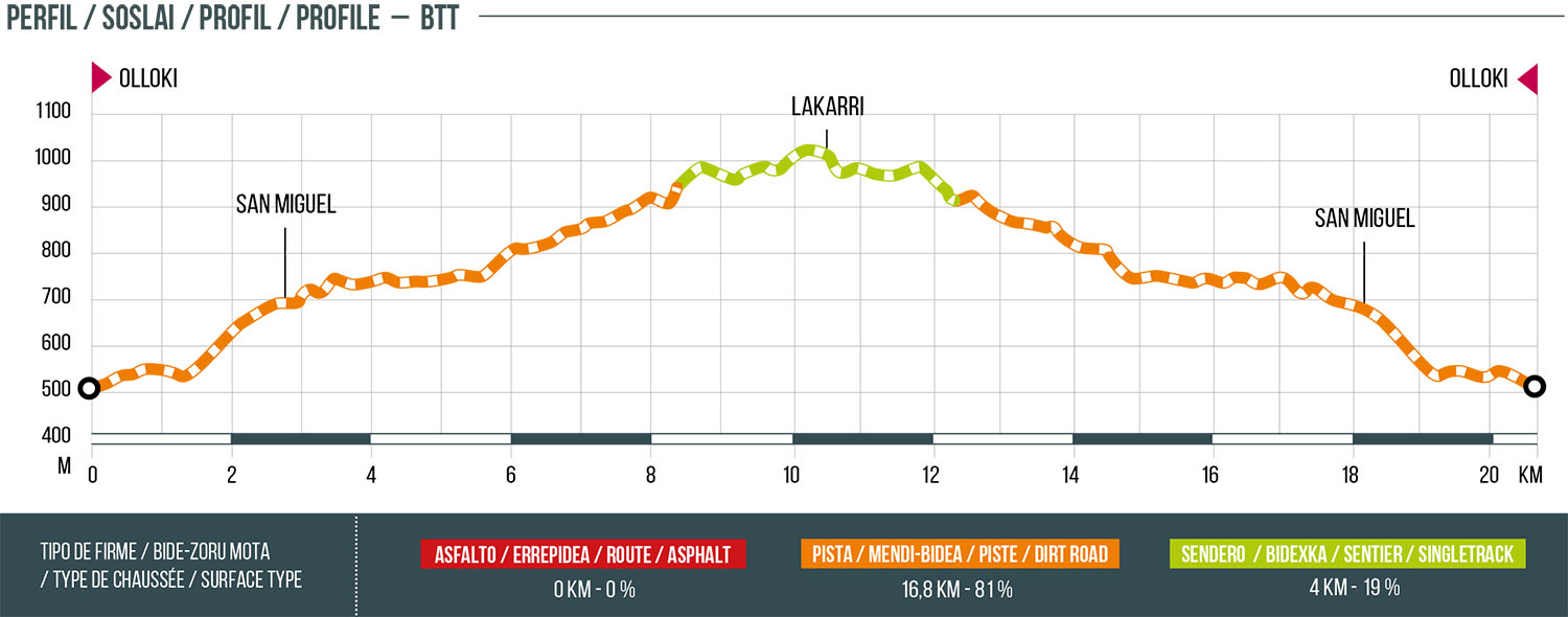
17 OLLOKI LAKARRI
Distance
20.8 km
High
767 m
Downhill
767 m
TIme
4 – 5 h
Difficulty
Level

Wikiloc
Download trail
Track
Download track
Technical specs
Download file
Start
Olloki
Agua
Olloki

Track description
Mountain route that connects the village of Olloki with the highest mountain in the area, the Lakarri. This is the first mountain in the northern part of the Pamplona Basin that exceeds 1,000 meters of altitude.
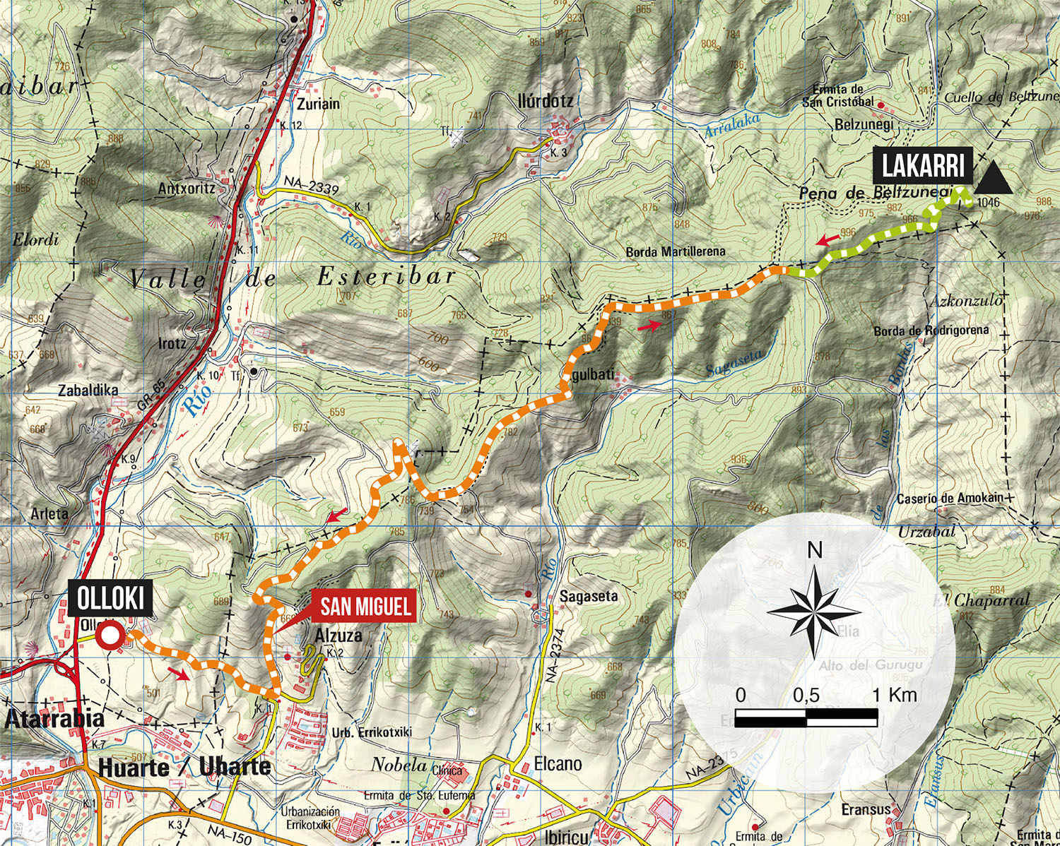
The route begins in the town of Olloki, specifically in the upper part of the village (Church). We will go up towards the San Miguel mountain through the track that goes from Olloki to Alzuza and once in the high area of the mountain range, we will continue along the track that leads to the antennas above Irotz, and from there we will continue along this track crossing the mountain range that separates the Esteribar Valley and Egues. At the height of the crag of Belzunegui, we take a nice path that will take us to the top of Lakarri (1046 m). The return is made by the same way of going.
Route map
Profile