02 burdindogi bidaia
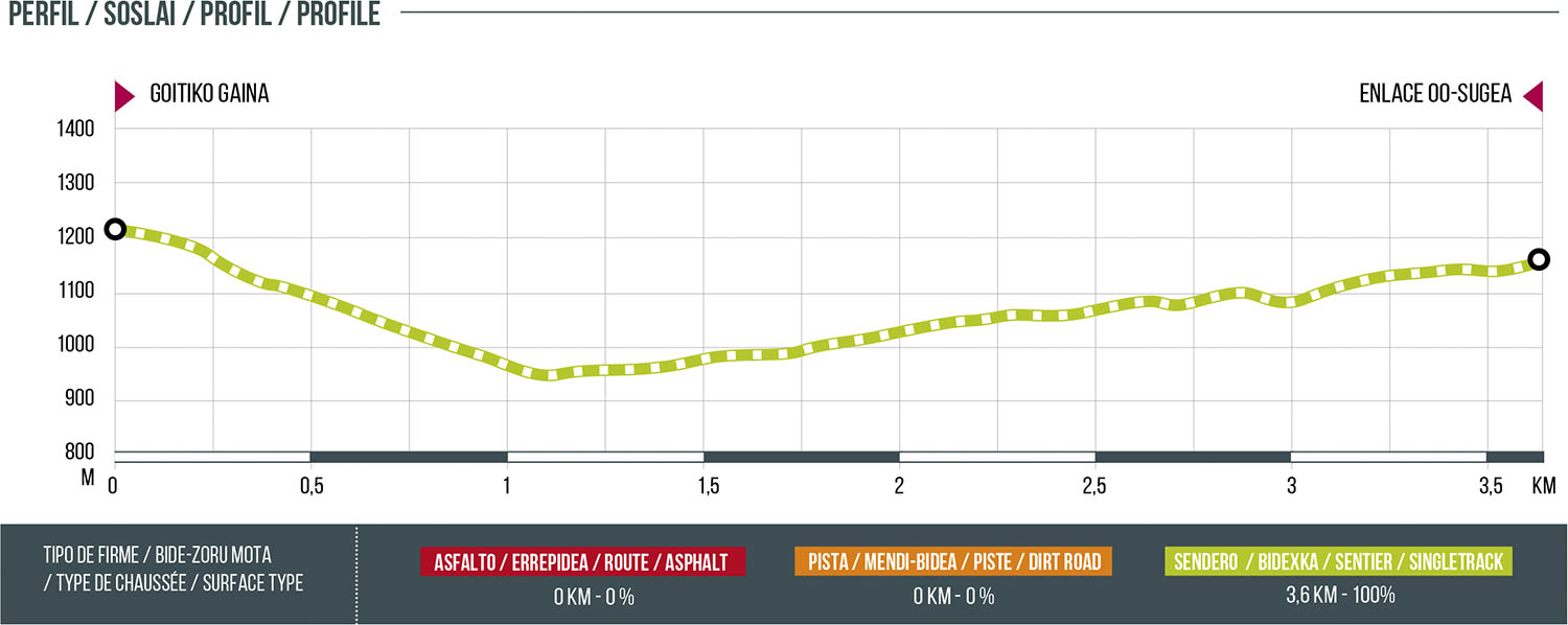
Distance
3.6 km
High
194 m
Downhill
262 m
TIme
30 – 60 min
Difficulty
Level

Wikiloc
Download trail
Track
Download track
Technical specs
Download file

02 Burdindogi Bidaia
Start
Goitiko Gaina
Agua
NO
Track description
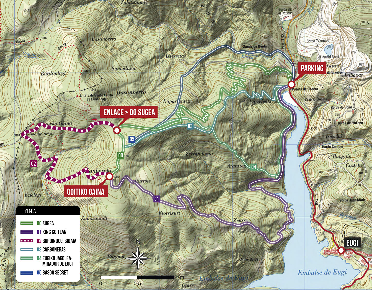
Nice loop that takes place in the upper part of Burdindogi. Starting from the top of Goitiko Gaina we will descend on a path with quite technical sections (caution with wet terrain). The return will be through a magnificent path in search of the ascent 0.SUGEA that will give us access to the rest of the descents of the sector. Ideal route to combine with any other descent of the sector.
Route map
Profile