12 EUGI ZUBIRI
Distance
7.5 km
High
100 m
Downhill
224 m
TIme
1,45 h
Distance
6.7 km
High
100 m
Downhill
224 m
TIme
1 h
Difficulty
Level

Wikiloc Hiking
Download trail
Track
Download track
Technical specs
Download file
Wikiloc MTB
Download trail
Track
Download track
Technical specs
Download file

12 EUGI ZUBIRI
Start
Eugi, Zubiri
Agua
Eugi, Zubiri, Saigots
Track description
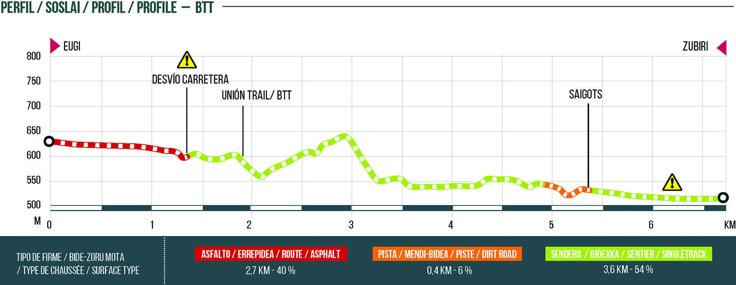
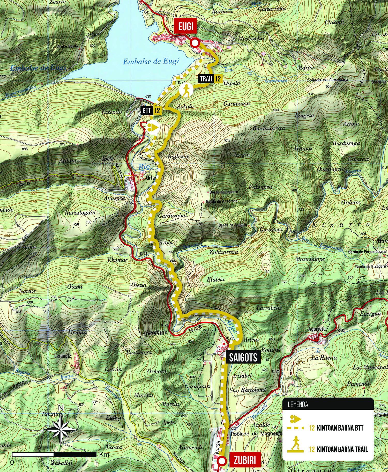
Bidirectional route linking the towns of Eugi and Zubiri through a combination of trails that run parallel to the Arga River. During 7.1 kilometers we will cross areas of forest and beech forest, the Etxarro stream or the medieval bridge of Saigots.
In the area of Eugi, leaving the village we have two variants of the trail: one for bicycles that starts on the road and enters the cemetery of Urtasun, and the other, leaving the Ospel street towards the slopes of Azegi (Zokolu). 500 meters before the medieval bridge of Urtasun, both paths join and from now on the trail is suitable for biking and hiking.
Route map
Profile